A named place inside wider areas · complete picture wordsYear 2 HASS · T1 W3–4 · Aids / Nested areas alternative
Source review complete · local suitability still needs review.
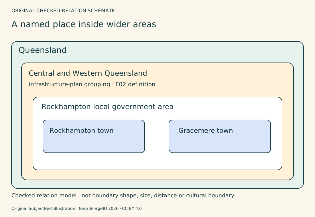
An original nesting diagram based on F01/F02, not provider map geometry. Outermost Queensland contains the specifically named Central and Western Queensland infrastructure-plan grouping from F02. Inside that is Rockhampton local government area. Two separate town boxes, Rockhampton and Gracemere, sit inside that LGA. These names identify checked membership relations, not matching rectangle sizes/shape, compass bearing, distance, road or Country/Place boundaries. The wider grouping is for the named infrastructure-planning source, not all definitions of Central Queensland. Child may choose either town and show a relation using the source; teacher separately records actual contribution. All nested labels appear as words with outlines; colour is not required.
Whole original SVG · Complete terms · Pictures and own aids
About this resource
Reviewed source editionSource review is complete for this two-week edition. Local suitability and classroom use still need review. Earlier candidate or pending-review words are retained in the original files; full-year coverage, translations and audio are not claimed.
Exact source: 0926c2cd7246a69889dee2ffb58a72ad5f57134c · 2026-10-09. Source edition, roles and hashes
Complete source and rights notices
Keep these full notices with copies of this resource. Learning text, software, art and outside sources keep their own terms.